Organizes the farm into parcels, greenhouses and crops. Greenhouses are drawn on the SIGPAC map and the PNOA orthophoto or created without a map. Each greenhouse keeps its crops, the records assigned from other tools, the fertilization requirements and the applications.
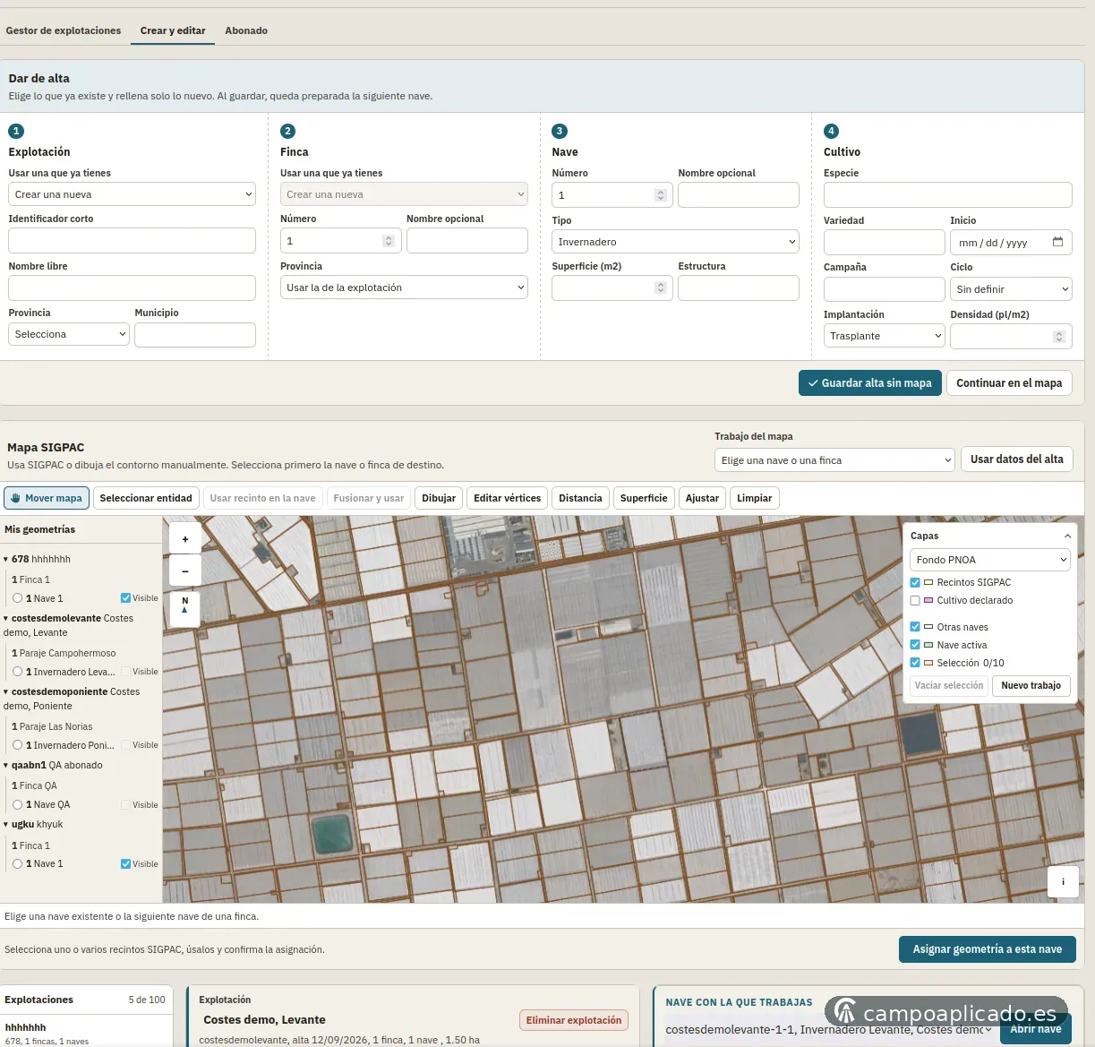
Parcels and greenhouses, outline on the PNOA orthophoto, crops and fertilization.
Features
- Structure: Farm, parcel, greenhouse and crop, with quick creation without a map.
- SIGPAC map: Parcel selection and merging, drawing and vertex editing, distance and area measurement, and layers.
- Greenhouses: Geometry, current and finished crops, and records from other tools assigned to the greenhouse.
- Filters: Greenhouses with a current crop, without a crop, without geometry or without assigned records.
- Groupings: Groups of greenhouses and crops to calculate and create crops in several greenhouses at once.
- Fertilization: Fertilization requirements per greenhouse and record of the irrigations, plans and amendments applied.
Inputs
Farm, parcel, greenhouse and crop. Geometry: selected SIGPAC parcel, merged parcels or drawn outline. Crops of each greenhouse and their dates.
Results
Tree of farms, parcels, greenhouses and crops, with status filters. Map with SIGPAC parcels, PNOA orthophoto and distance and area measurement. Fertilization requirements per greenhouse and record of the irrigations, plans and amendments applied.
Calculation conditions
The manager is optional: every tool can be used on its own. SIGPAC parcels serve as an area reference; official boundaries are those of the cadastral plans. Deleting a farm, parcel or greenhouse also deletes its crops, fertilization and costs.